Region: Fort William to Loch Ericht
Height: 1,345m (4,413 ft), the Highest Munro in Scotland
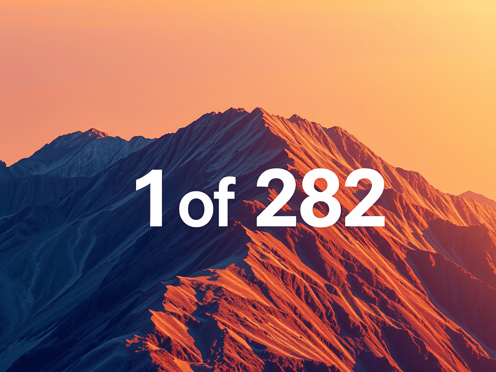
Ben Nevis marks the beginning of many journeys. As the tallest mountain in Scotland, it draws climbers, storytellers, and campervan travellers alike. This profile focuses on practical access, parking, and route details, with space for legacy notes and local nuance.
Trailhead and Parking
Primary Access Point: Ben Nevis Visitor Centre Car Park
- Location: Glen Nevis, PH33 6PF
- Capacity: Approximately 120 vehicles, including campervans
- Facilities: Toilets, water refill station, information boards
- Charges: £2 per hour or £8 per day
- Overnight: Permitted for campervans (check signage on arrival)
Alternative Options
- Braveheart Car Park: Smaller, overflow option
- North Face Car Park: Access point for the Carn Mor Dearg Arete route
- Glen Nevis Campsite: Full facilities, located about a 10-minute walk from the main trailhead
Note: Overnight parking is not permitted at Lower Falls Car Park
Route Overview
Standard Ascent: Mountain Track (formerly Pony Track)
- Distance: Approximately 17 km round trip
- Elevation Gain: Around 1,340 metres
- Terrain: Well-maintained path with rocky upper sections
- Time Estimate: 6 to 8 hours
Navigation Notes
- The summit is frequently cloud-covered, so a GPS or map and compass are recommended
- An emergency shelter is located near the summit cairn
- The path is popular and well-marked but remains remote and exposed to rapid weather changes
Campervan Suitability
Day Parking
- Visitor Centre and Braveheart Car Parks both allow daytime campervan access
Overnight Options
- Glen Nevis Campsite: Dedicated campervan pitches with toilets and showers
- Wild parking may be possible further up Glen Nevis road, but local restrictions and signage should be checked
- Lower Falls Car Park does not allow overnight stays
Fuel and Supplies
- Fort William offers full services, including supermarkets, outdoor shops, and medical facilities
- Nearest fuel stations: Morrisons and BP on the A82
Legacy Log
- First recorded ascent: 1771 by botanist James Robertson
- Summit Observatory: Built in 1883 and staffed until 1904
- Name origin: “Beinn Nibheis” possibly translates to “venomous mountain” or “cloud mountain”
- Annual events include the Ben Nevis Race, charity climbs, and summit litter cleanups
Closing Notes
This is the first in a series of Munro profiles designed for campervan-based exploration. Entries are added every other day, focusing on access, parking, and route clarity. If you’ve climbed Ben Nevis, parked nearby, or have tips for fellow travellers, feel free to share your comments. Your insights help shape the archive.
Sources Used
These sites provide far more detailed and comprehensive overviews of the walks and Munros than I could hope to cover here:
Explore more with us:
- Browse Spiralmore collections
- Read our Informal Blog for relaxed insights
- Discover Deconvolution and see what’s happening
- Visit Gwenin for a curated selection of frameworks
