Region: Central Highlands – Ben Alder Forest
Height: 1,132m (3,714 ft)
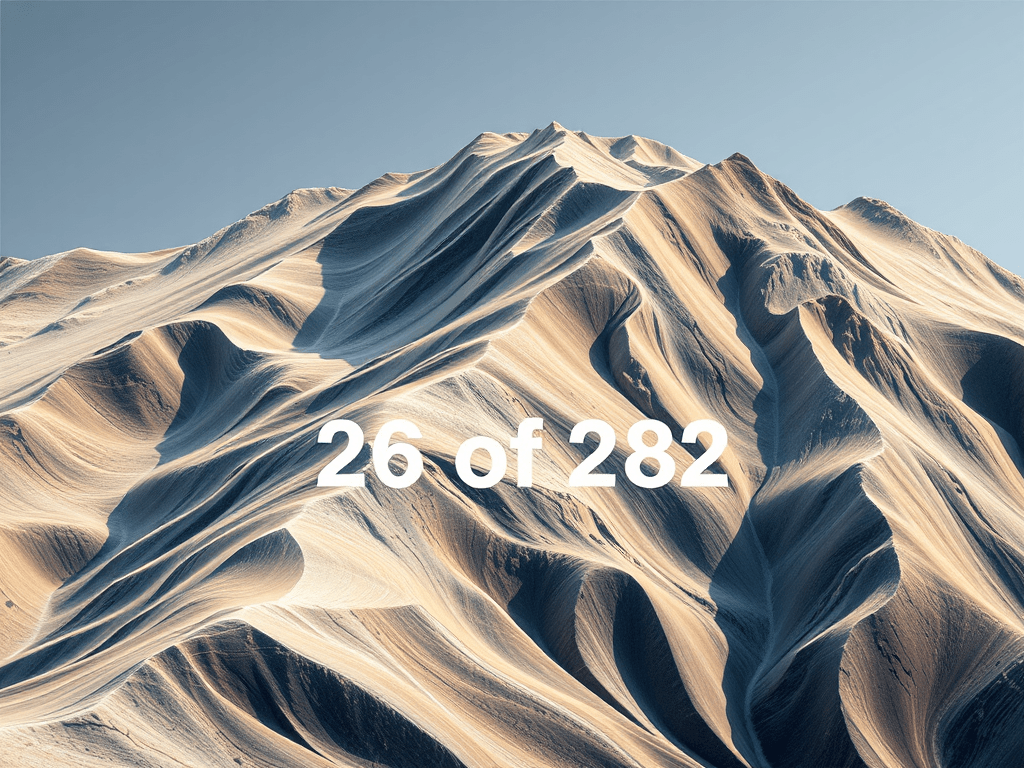
Geal-charn, “white hill,” is the 26th highest Munro, rising in sculptural prominence above the remote basin of Loch Pattack, just north of Ben Alder. Its summit is a broad, boulder-framed dome, often approached as part of the Alder Forest circuit, alongside Beinn Eibhinn, Aonach Beag, and Carn Dearg. Though not technically difficult, the terrain is wild and pathless in places, demanding ceremonial pacing and confident navigation. For campervan travellers, access begins at Dalwhinnie, with bike-assisted staging along the lochside track toward Culra Basin.
Trailhead and Parking
Primary Access Point: Dalwhinnie tunnel layby (Loch Ericht track)
Location: Just off the A9, south of Dalwhinnie village
Grid Reference: NN632847
Capacity: Moderate; suitable for daytime campervan access
Facilities: Toilets, café, water refill in Dalwhinnie
Charges: Free
Overnight: Possible with discretion near the tunnel layby or Dalwhinnie village
Route Overview
Standard Ascent: Bike + hike via Loch Ericht and Culra Basin
Distance: ~30 km round trip (bike-assisted)
Elevation Gain: ~1,200 metres – Distance and elevation may vary depending on summit extensions and route choice.
Terrain: Estate track, moorland paths, boulder fields
Time Estimate: 9 to 10 hours (single push); 2 days with wild camp or bothy overnight
Navigation Notes
- Cycle from Dalwhinnie to Culra Basin (~2 hours)
- Ascend via Coire Pitridh or link with Beinn Eibhinn and Aonach Beag for a full circuit
- Summit is broad and cairned, with panoramic views across the Alder Forest
- Map and compass essential, GPS helpful for track junctions and summit transitions
- Note: Culra Bothy is permanently closed due to asbestos; wild camping is the only overnight option in the basin.
Campervan Suitability
Day Parking
- The tunnel layby near Dalwhinnie offers discreet access
- No facilities, pack with foresight
Overnight Options
- Dalwhinnie village: Quiet overnighting with community courtesy
- Wild parking: Possible in designated laybys near Loch Ericht
- Campsites: Available in Newtonmore and Kingussie
Fuel and Supplies
- Dalwhinnie: Small shop, café, water refill
- Newtonmore: Fuel station, supermarket, outdoor gear
- Outdoor gear: Available in Aviemore and Inverness
Legacy Log
- Name origin: “Geal-charn” means “white hill”
- Summit features: Boulder dome, panoramic solitude, sculptural hush
- Known for: Alder Forest prominence, multi-Munro linkage, and sacred pacing
- Popular with: Wilderness pilgrims, legacy stewards, and those seeking mythic endurance
Closing Notes
This is Munro Profile 26 in your campervan-access series. If you’ve traced the white hush, paused at the boulder crest, or found a rhythm in Alder’s sculptural folds, your reflections are welcome. Each insight helps shape the archive and supports fellow travellers.
Sources Used
These sites provide far more detailed and comprehensive overviews of the walks and Munros than I could hope to cover here:
Explore more with us:
- Browse Spiralmore collections
- Read our Informal Blog for relaxed insights
- Discover Deconvolution and see what’s happening
- Visit Gwenin for a curated selection of frameworks
Optional Companion Tools:
Low-cost frameworks and spirals for offline reflection and planning are available. Core content stays free.
